»Map Cards, Describing the 52 Counties of England and Wales« (John Lenthall, London, um 1717) (Q14038)
Jump to navigation
Jump to search
✎ Add to or edit this entry — web form for logged-in members
Also known as
Standardkarten (John Lenthall, London, um 1717, I) · MAP CARDS, DESCRIBING THE 52 COUNTIES OF ENGLAND AND WALES
maker
card type
Suit system
number of cards
52
place of origin
publication date
1717 (circa)
Described in
A Catalogue of the Cary Collection of Playing Cards in the Yale University Library vol. 1–4 (1981) (cat. no. ENG 107, Bd. 1, 120)
Collection
Cary Collection of Playing Cards (Beinecke Library) (inv. ENG 107)
Source
Rights status
work in the public domain
Cards
-
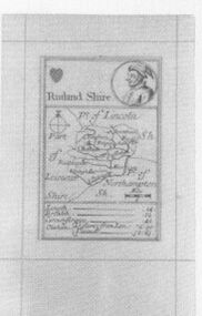 Hearts-Jack (French)
 -
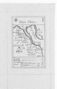 Diamonds-Ace (French)
 -
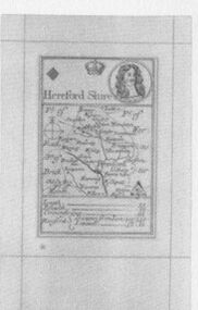 Diamonds-King (French)


Tax stamps
At the time of this pack (1717), London belonged to the territory of Königreich Großbritannien. No playing-card tax system is recorded for this territory at this time — so there are no tax stamps to look for here.